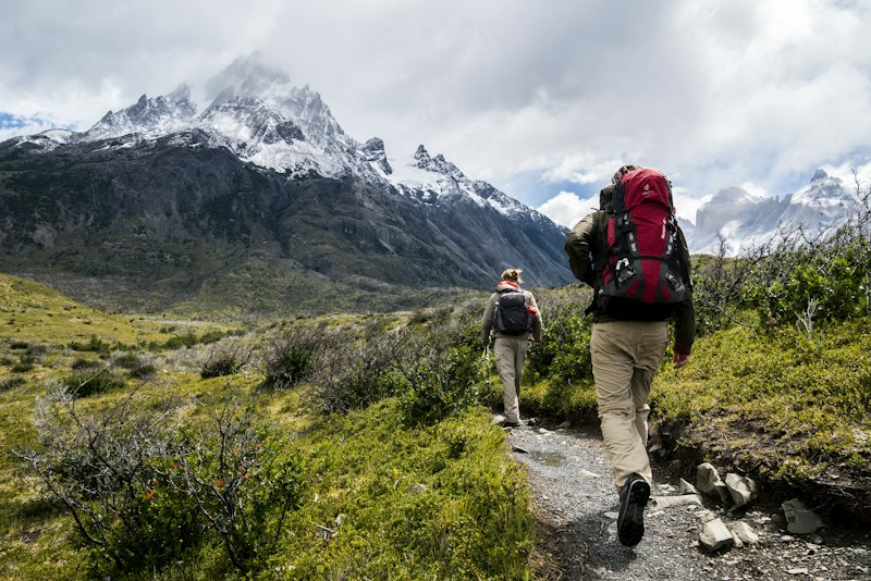
Founded in 2009, branch-elk emerged from a shared conviction that geographic knowledge should be accessible, practical, and applied with precision. Our founders, having spent years in academic research and field surveying, recognised the gap between theoretical geography and its real-world applications.
Today, we serve clients across the United Kingdom, from local planning authorities seeking watershed assessments to developers requiring detailed terrain analysis. Our approach combines traditional cartographic principles with contemporary spatial technologies.
What sets us apart is our deep familiarity with British geography. Our team has surveyed landscapes from the Orkney Islands to the Channel coast, accumulating knowledge that cannot be replicated through satellite data alone.
Bringing together expertise across physical geography, cartography, and environmental science
Principal Geographer
Specialising in glacial geomorphology and Highland terrain analysis with over twenty years of field research experience.
Lead Cartographer
Expert in digital elevation modelling and topographic mapping with a focus on coastal and estuarine environments.
Watershed Specialist
Focused on hydrological mapping and flood risk assessment across English river systems.
Every geographic assessment begins with understanding context. We study not only the physical characteristics of a site but its relationship to surrounding landscapes, historical land use, and potential environmental sensitivities.
Our field surveys employ a combination of traditional theodolite measurements, GPS positioning, and drone-based aerial photography. This multi-source approach ensures accuracy while capturing landscape features that single-method surveys might overlook.