
Advertising Content Specialist Geographic Services Across the UK
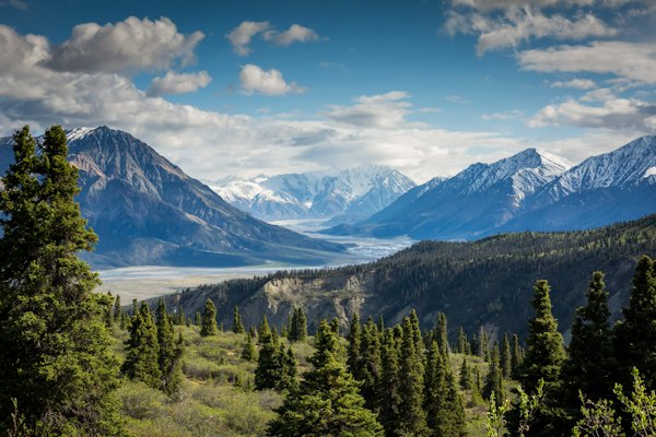
Aerial view of British countryside landscape

Understanding Britain's Geographic Complexity

From the Scottish Highlands to the rolling hills of the Cotswolds, we provide comprehensive geographic analysis and consultancy services that reveal the stories within the landscape.

Explore Our Services
Mountain lake reflection in Lake District
Featured

The Lake District: A Geographic Marvel

Carved by glaciers over millennia, the Lake District presents some of the most dramatic terrain in England. Our team recently completed a comprehensive watershed analysis covering 912 square kilometres of this protected landscape.

Read More

Coastal cliffs of Cornwall
Coastal Studies

Coastal Erosion Patterns Along the South West

The Jurassic Coast continues to reshape itself through natural erosion. Understanding these patterns helps communities plan for sustainable coastal management and preservation of geological heritage sites.

Discover More

Geographic Consultancy Services

Comprehensive solutions for understanding and working with the British landscape

Topographic survey equipment in use

Topographic Surveys

Precision mapping of terrain features, elevation data, and natural landmarks using advanced surveying technology.

£1,450 per survey
Learn More
River watershed mapping

Watershed Analysis

Comprehensive study of drainage basins, water flow patterns, and catchment area characteristics.

£2,875 per analysis
Learn More
Mountain terrain analysis

Terrain Modelling

Digital elevation models and 3D terrain visualisation for planning and environmental assessment.

£3,295 per model
Learn More

Britain's Diverse Geographic Character

The United Kingdom encompasses an extraordinary variety of landscapes within a relatively compact area. From ancient granite formations to chalk downlands, each region tells a distinct geological story spanning hundreds of millions of years.

Our team brings together expertise in physical geography, geological sciences, and spatial analysis to help clients understand and work effectively with these diverse environments.

  • ✓ Highland terrain analysis across Scotland and Wales
  • ✓ Coastal geomorphology studies for 19,000+ km of coastline
  • ✓ River system mapping for flood risk assessment
  • ✓ Urban geographic planning consultancy
Scottish Highlands landscape

What Our Clients Say

Trusted by planning authorities, developers, and environmental organisations

"

The watershed analysis provided crucial data for our flood mitigation planning. Their understanding of local drainage patterns saved us months of preliminary research.

JM
James Mitchell
County Planning Officer
"

Their terrain modelling work helped us visualise the development site in ways traditional surveys simply cannot achieve. Exceptional attention to geographic detail.

SW
Sarah Whitmore
Development Director
"

We commissioned a comprehensive land use assessment for our conservation area. The insights helped shape policy that protects both heritage and enables sustainable growth.

RP
Robert Pemberton
Conservation Trust Manager

Request Your Geographic Assessment

Complete the form below and our team will respond within two working days with a tailored proposal.

Enquiry Form